Arrowcreek to Huffaker
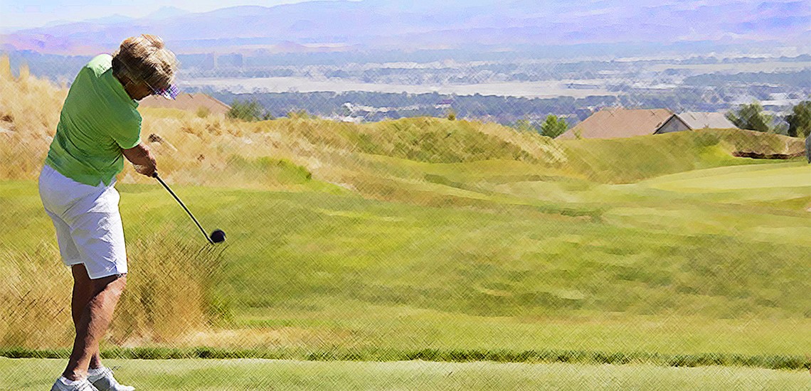
Arrowcreek is anchored by a golfing community that overlooks the city from the south and peers up Mount Rose to its north.
Zolezzi - Thomas Creek runs through this older neighborhood
West Huffaker - Bartley Ranch Regional Park sets the tone for all the neighborhoods to its south.
Arrowcreek Map
South Reno Neighborhoods
Current Neighborhood Data
The csv links on these pages are out of date. Please look up the four digit codes to access property details and ownership information:
Map of all Neighborhoods
