Old Southwest
Apple of Reno's Eye
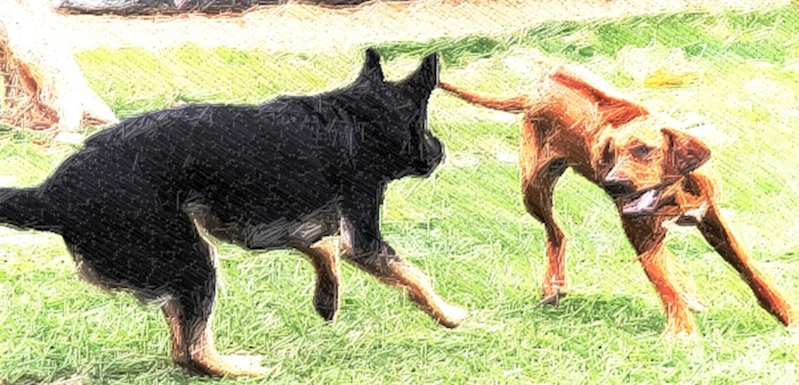
This established neighborhood has long been the apple of Reno's eye. Residents, whether homeowners or tenants, have a deep love and respect for their homes, yards and common areas. Some credit this friendly neighborhood to the high dog-to-human ratio. The Plumas Park has been a place to socialize with neighbors (furry or not) and share a sense of community.
Idlewild - Just like it sounds. Named to be idle and wild. This former Zoo kept all its lioness charm in the neighborhood.
The Mountain View neighborhood carries on the playfulness with a street called Jolly Lane River.
Idlewild Map
Current Neighborhood Data
The csv links on these pages are out of date. Please look up the four digit codes to access property details and ownership information: