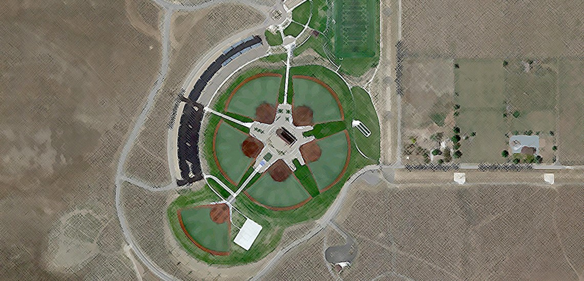
Wingfield Springs

The Wingfield Springs neighborhood alcove provides a homey retreat two miles from Golden Eagle Regional Park and next door to Red Hawk Golf and Resort. Home owners enjoy these spacious private residents and nearby amenities without a long commute trade off common along the Western United States. In addition, the neighborhoods maintain open spaces, water features, and weekly club meetings for any number of personal interests
Kiley Ranch - an urban oasis dropped between meadow and trail PDF map from Washoe County
Pioneer Meadows planned communities among desert trails and a golf resort.
Oppio Ranch Pyramid Highway Community above the Lazy 5 park and beautiful Spanish Springs Library.
East Ranches stretching along Calle De La Plata into the Pah Rah Range
Eagle Canyon with Spanish Springs Highschool
Calle De La Plata runs through the Spanish Springs Valley Ranches. These large lots have expanded paving projects into the mountain range dividing Spanish Springs from Palomino Valley to increase accessibility.
Wingfield Springs Map
Current Neighborhood Data
The csv links on these pages are out of date. Please look up the four digit codes to access property details and ownership information: