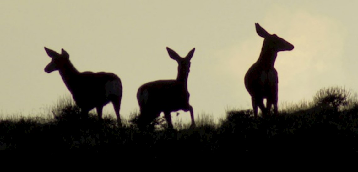
Palomino Valley

Wild Horses and antelope roam
Palomino Valley Map
Palomino Valley Parcel Search
Note: these are not lists of properties available for sale. The spreadsheets help you research all land in this neighborhood.
The CSV files download from the Washoe County Assesor's office. They provide detailed information about how each piece of land is used and who owns it.
Axe Handle
- Land Use: Single Family Residence 40+ Acre Zoning -- Site Values / Per Acre
- MAP abbreviation: MAAJ
- CSV spreadsheet
Palomino Specific Plan
- Land Use: Single Family Residence 5 Acre Zoning -- Site Values
- MAP abbreviation: MACH
- CSV spreadsheet
AG
- Land Use: Possessory Interest Parcels
- MAP abbreviation: MAWW
- CSV spreadsheet
Palomino Valley
- Land Use: Single Family Residence 40+ Acre Zoning -- Site Values / Per Acre
- MAP abbreviation: MABJ
- CSV spreadsheet
Monte Cristo
- Land Use: Single Family Residence 40+ Acre Zoning -- Site Values / Per Acre
- MAP abbreviation: MAEJ
- CSV spreadsheet
Palomino Catch All
- Land Use: Centrally Assessed
- MAP abbreviation: MAZZ
- CSV spreadsheet
Mining Claims
- Land Use: Centrally Assessed
- MAP abbreviation: MABZ
- CSV spreadsheet
Flying Eagle Air Park
- Land Use: Single Family Residence 40+ Acre Zoning -- Site Values / Per Acre
- MAP abbreviation: MAFJ
- CSV spreadsheet
These CSV files download from Washoe County Public Records. Please see instructions, disclaimers, and always verify information before making a decision DISCLAIMERS
Spanish Springs Neighborhoods
Current Neighborhood Data
The csv links on these pages are out of date. Please look up the four digit codes on this page to access the ownership spreadsheets:
Seize no power.
Change everything.
Professionals and volunteers team up with groups and people to collaborate on community building projects